The Derbyshire Ornithological Society
- The first choice for the county's birders since 1954
Mapping
Whether carrying out a survey, planning a trip or just out for the day maps are an essential part of birdwatching.
There are many mapping systems, aerial photography and satellite imaging sites now available that make it easy to know where you are going.
This page gives you a few links to the ones that the DOS can recommend as tried and tested. Broadband is a must.
| Name | Link | Description |
|---|---|---|
| Google Maps | maps.google.co.uk | Maps, street maps, satellite photos - world-wide cover, route planner |
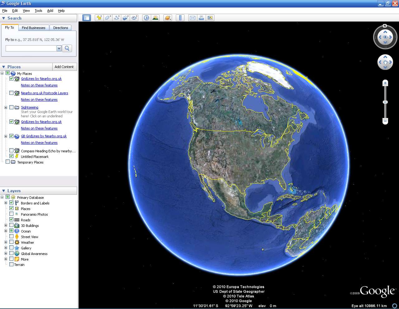
| Google Earth | http://earth.google.com | Satellite photos of the whole planet - amazing! I have used this one to check out a small car park in San Diego next to a Burrowing Owl site. |
| Microsoft Bing Maps | http://www.bing.com/maps/ | Satellite photos (from above and "bird's eye" view), route planner, Ordnance Survey maps down to 1:25,000. Sometimes the maps are bit out of date but it's free! |
| Where's the Path | http://wtp2.appspot.com/wheresthepath.htm | An interesting page that shows what you can do with the Google Maps and Ordnance Survey APIs when you try: OS map on the left, satellite photo of the same area as the the map on the right. |
Top of Page